Google Map version
Google Interactive Washington Map
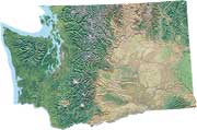
This version of the Interactive Washington State map lets you bookmark or link to a custom view with all settings saved in the web address, zoom in and out and move to different locations, double-click a point to get its latitude and longitude coordinates, and switch between map and satellite image views.
This Washington State map is provided courtesy of Google Maps.